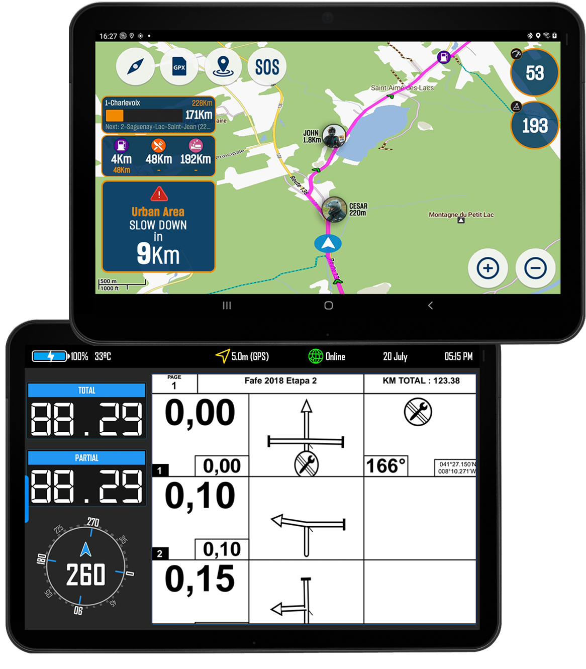
For event organisers we have our events app which allows you to plan events based on both GPX tracks and PDF roadbook files at the same time
A tailor-made app for event organisers with everything you need to make the most out of your next event
Combines the best of the community apps and DMD2
● Administration area to plan the events (dates, description, files, etc)
● Map view with offline topographic maps to load the GPX file
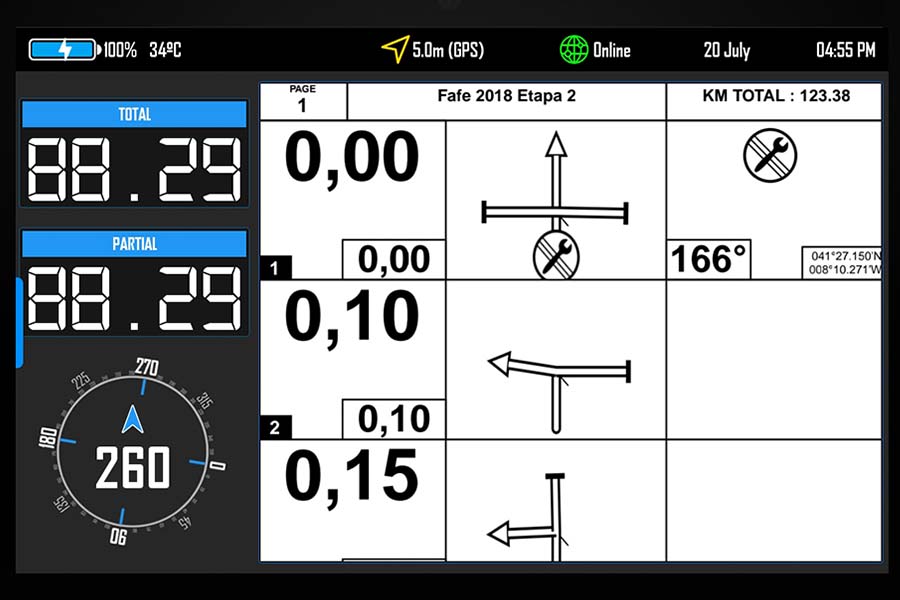
● Roadbook with up to 4 instruments to ride your digital (PDF) roadbooks
● SOS button and fall detection that will generate warnings for the event team
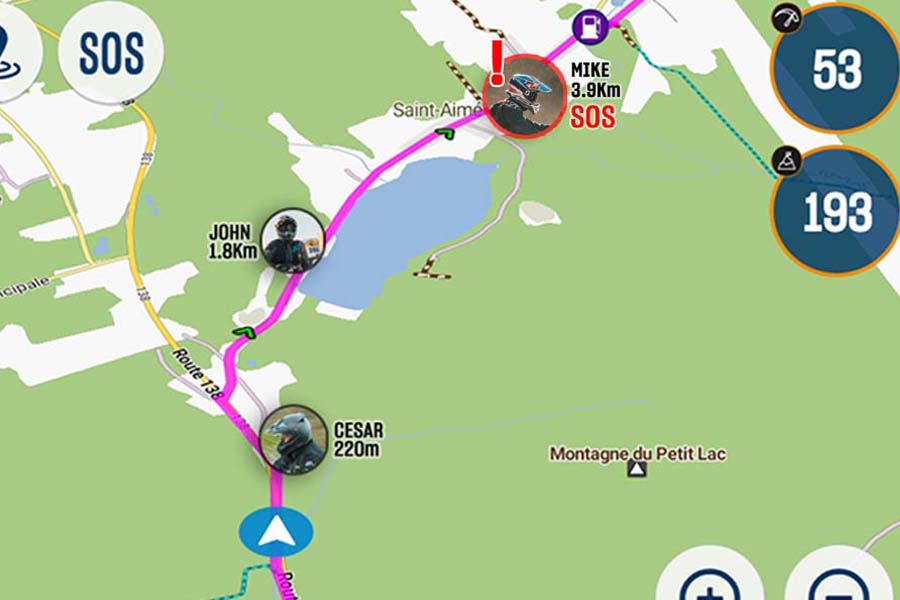
● Ability to view all riders in a map (public or private for event team)
● Programable alerts based on location or sections proximity
● Waypoint and POI database
● Files can be locked, non-sharable, only available in the app and even restricted to be used during a time frame
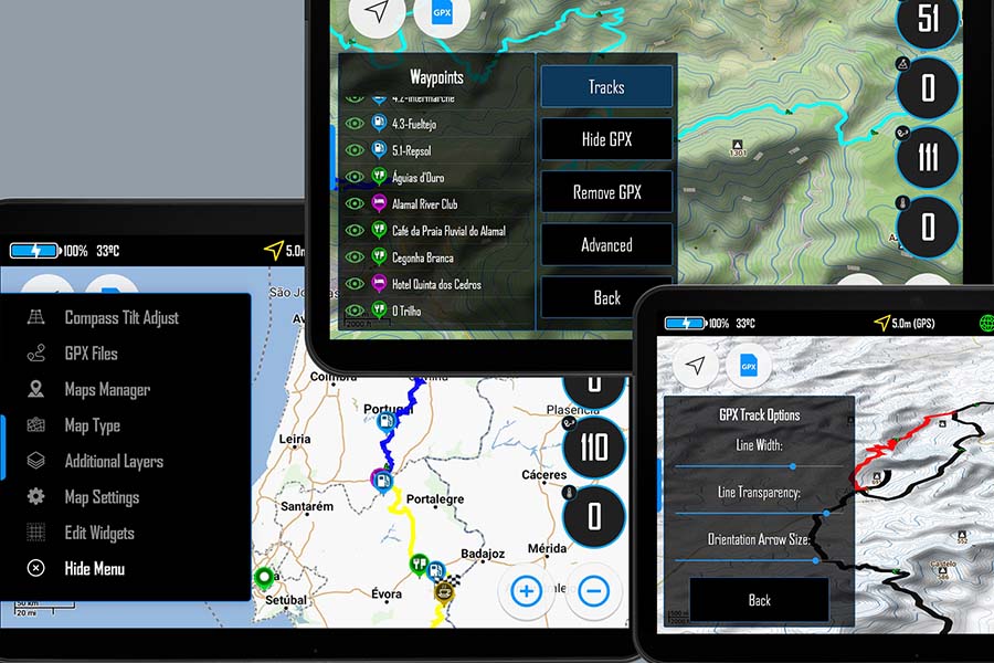
A work in progress that is soon going to be used by many event organisers
One of the areas we invest more time is our map system. We try to make it simple to use and we are constantly improving it. The events app will have it all, GPX tracks, SOS system, POIs search and even Friends List in the map.
The interface is optimised for handlebar controller. It is fully compatible with the CARPE-ITER controllers. You can access almost all the available functions with it and even map each key for specific functions like in the Roadbook.
Our Roadbook view is a reference when it comes to amateur races. It is now being adapted for actual motorcycle Federations to use on official race events.
Full control and independency. Each event organiser database is kept separate from AdvHub, only the event manager can access it. All data is accessible through an API which each event organiser can generate access keys to grant access to third parties.
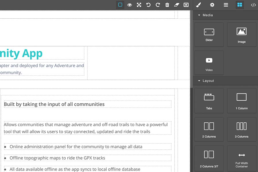
For events who do not have a website we offer free tools to generate clean and good looking websites (just like our own AdvHub). Its simple drag and drop, supports multi-language, and integrates all your event data in real-time (news, alerts, statistics, etc).
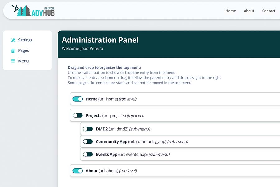
Its extremely easy to manage everything about your event. Release event tracks, news and event sign-in forms, update your POI or Waypoint database, edit your website pages, organize your website menus. Everything is available in one administration panel.
Event teams have a special app version where they get notified in case of any SOS request or automatic fall detection alert.
The team can view everyone position in a map and even interact with each event participant in real-time.